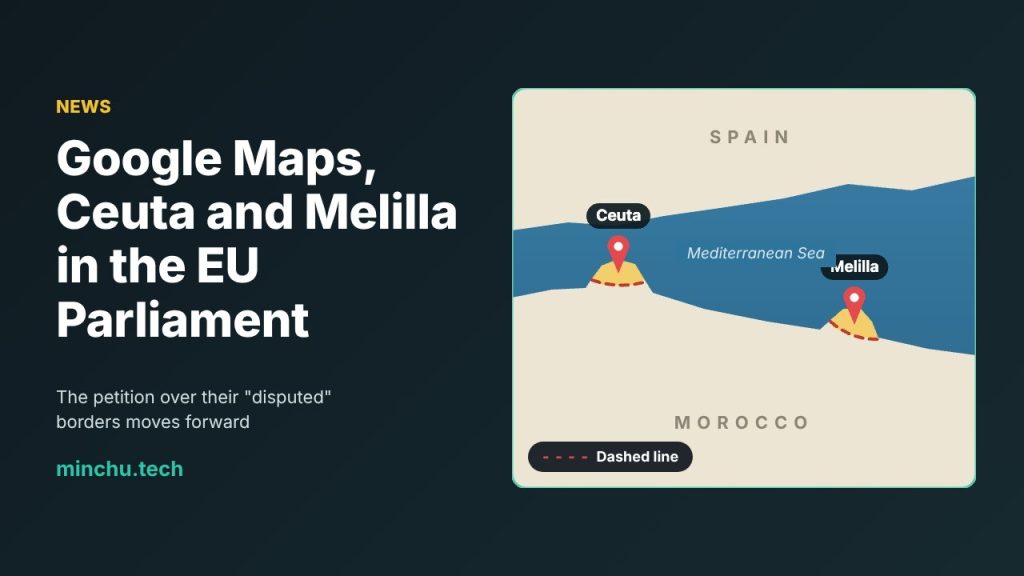
The way Google Maps draws the borders of Ceuta and Melilla, the two Spanish cities on the North African coast, has reached the European Parliament. Its Petitions Committee has decided to keep processing petition 2284/2026, which claims that Google’s map shows the limits of the two autonomous cities as if they were in dispute. Here’s what’s going on, what’s being asked and, above all, what hasn’t happened yet.
What Google Maps shows
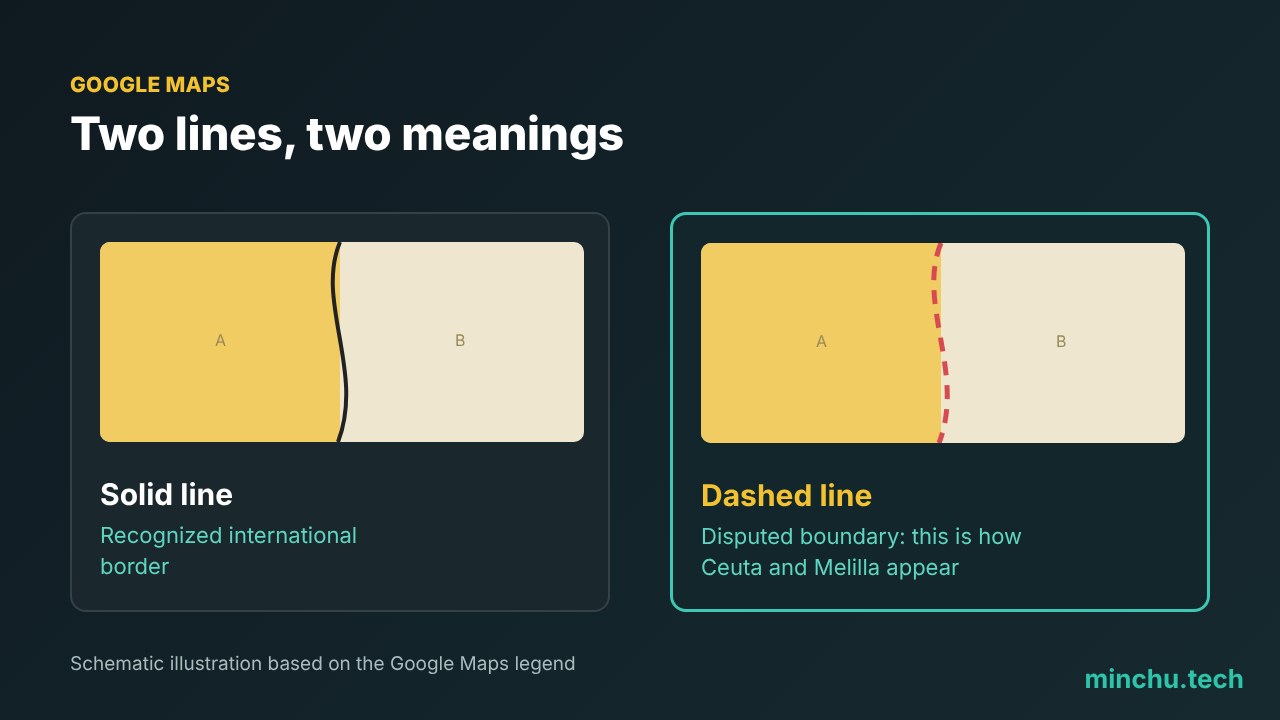
On Google Maps, the border between Ceuta and Melilla and Morocco appears as a dashed line. According to Google’s own legend, that type of line is the one it uses for “disputed boundaries,” instead of the solid line it uses for recognized international borders. That’s what prompted the petition.
What the petition asks for
The petition asks the European institutions to assess whether this representation complies with the Digital Services Act (DSA), the EU law that requires large platforms to manage the risks of the information they display. The Petitions Committee keeping it open means it is still being studied and that the committee can ask the European Commission for information.
What could happen (and what hasn’t)
There has been a lot of talk about fines. It’s true that the DSA allows penalties of up to 6% of global revenue, which in Alphabet’s case would be around $24 billion. But it’s worth being clear: no fine has been imposed and no enforcement proceedings have been opened over this. Right now it’s a citizen petition being processed, which is the first step on a long road with an uncertain outcome.

My take
Beyond this specific case, the issue shows how much digital maps shape the way we see the world: for millions of people, Google Maps is “the map.” We’ll see whether the European Commission decides to look at the case under the DSA. In the meantime, it’s worth reading headlines about billion-dollar fines calmly, because so far there aren’t any.
Sources: El Español, Genbeta, European Parliament (Petitions).